
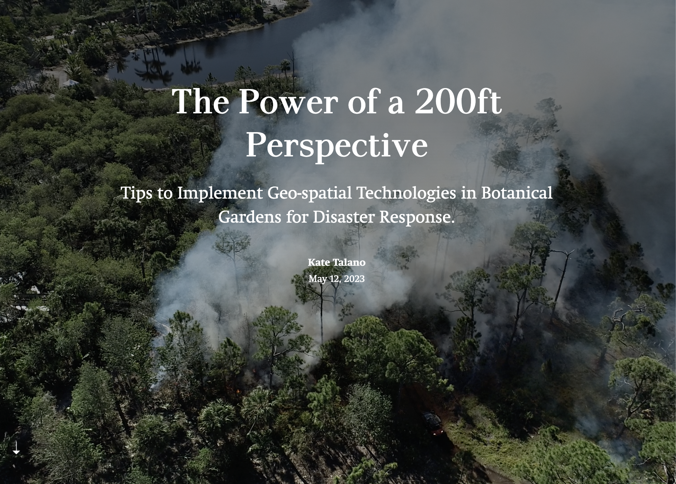
Redefining Space & Place
Digital Cartography | Web-mapping
-
![]()
A Map is Worth 1,000 Words
-
![]()
GIS for Disaster Response
-
![]()
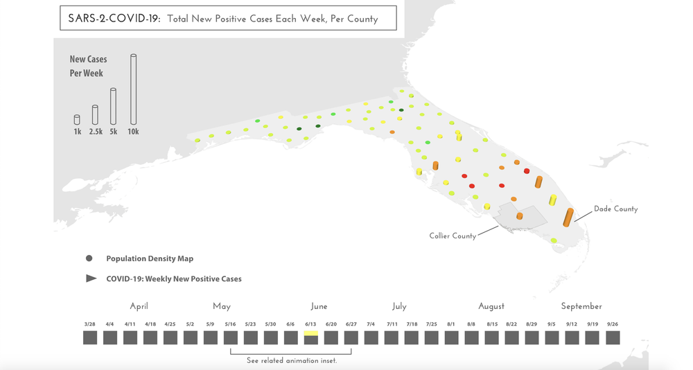
Why Mapping COVID19 is So Hard
-
![]()
Natural History of Williamson Heights


Thematic Cartography
-
![]()
Solar Site Analysis
-
![]()
Trail Map
-
![]()
Natural Preserves Reference Map
-
![]()
Coastal Maine - Hand-painted
-
![]()
Natural Communities Reference Map
-
![]()
Prescribed Burn Map
-
![]()
Flood-Risk Equality Assessment


GIS Applications
-
![]()
Interactive Visual Geo-Database
R-Studio
Over the past few years, William Cinea, an established botanist and entrepreneur, and his team of botanists, have collected over 10,000 data points that identify rare, endemic, and invasive species within Macaya National Park, the largest national park in Haiti. Each of these data points contains coordinate information, photo documentation, and species notes. His data has the potential to inform species conservation status, help establish government-sponsored park management plans, and be used to gain global funding and support for local community wellbeing projects.
The purpose of this independent research project was to utilize data science and GIS programming to transform William’s data into a private, interactive, self-updating geodatabase that may be used for data collection and analysis purposes.
Note: Because this data is private, a link to explore this application is only accessible by request.
-
![]()
Garden Tributes Map
ArcGIS Pro, Field Maps, Online
In the Fall of 2023, staff members took the time to map the location of the attributed trees benches, plaques, and areas around Naples Botanical Garden. This information was used to create an interactive web-map which shares the precise locations of the tribute flora and plaques throughout the Garden.
Note: A link to this map will be shared once the application is publicly available.
-
![]()
Invasive Species Mapping Application
ArcGIS Online, FieldMaps
This interactive survey allows its users to upload the GPS location, name, and treatment status of invasive species on site. Web-based, participating staff can use their phones to input, update, and record information on the map in real-time.
-
![]()
Mapping Rare Collections
ArcGIS FieldMaps, Survey123
The Naples Botanical Garden Conservation Horticulture team is hard at work surveying, monitoring, and collecting plant species within our Garden, local, and global community. An interactive survey map was created so that the team could ID the location, date, and detailed information for each plant they collect.


Remote-Sensing | UAS Drone Analysis
-
![]()
Phenology and Disaster Response
P4 Multispectral Drone, DroneDeploy
By studying phenological processes in the cypress systems at Naples Botanical Garden, the Conservation Team hopes to gain a better understanding of how these wetland ecosystems may respond to hurricanes, climate change and other human impacts on these systems.
-
![]()
Beach Dune Assessment | Coastal Resiliency
DJI P4 Pro, DroneDeploy
Comparative imagery of beach dunes pre and post Hurricane Ian are helping to support research on ways South Florida, and other coastal communities may enhance biodiversity, resiliency, and ecosystem functionality in the face of climate change.

